Note 02 / cultivated vertical section
A grove in three layers
A date-palm orchard can hold canopy, other trees, ground crops, paths and water in one vertical system. Read those relationships before calling the view simply lush.
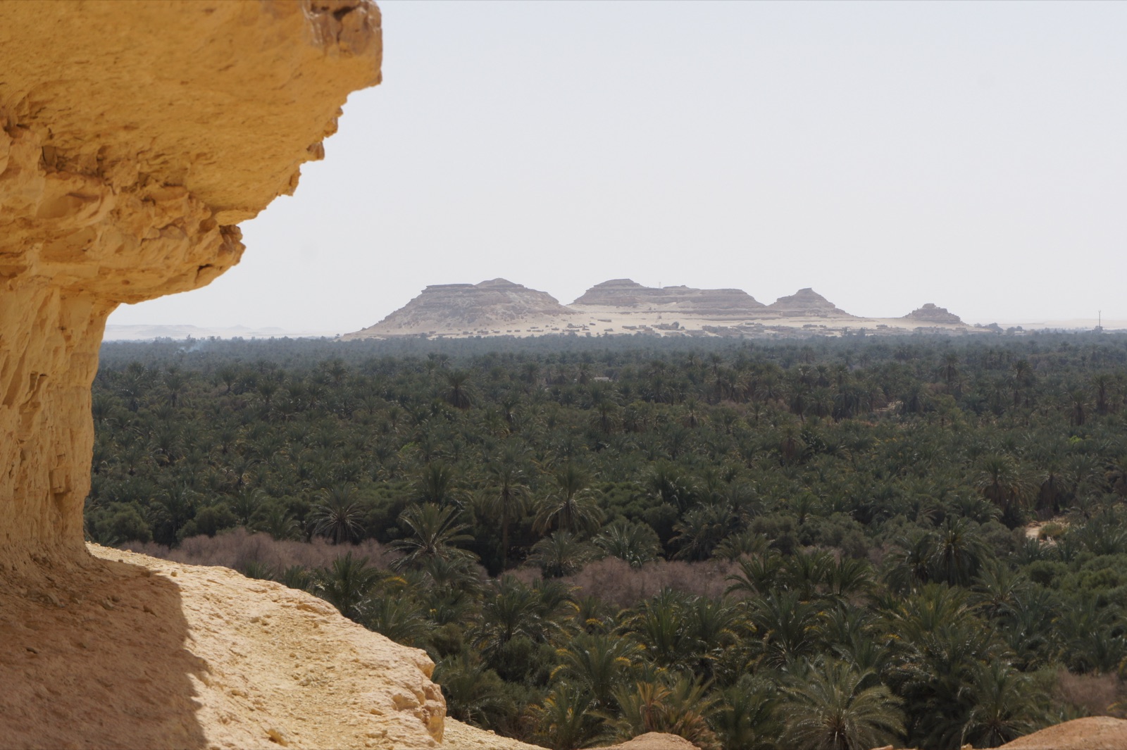

Begin with a cross-section rather than a postcard. Look upward to the date crowns, through the middle layer of trunks and other vegetation, then down to soil, channels and crops. This vertical scan shows why shade in a grove is not a single roof. It changes with crown spacing, leaf condition, sun angle and the plants occupying lower levels.
The upper layer is spaced, not sealed
Date-palm crowns intercept strong light while remaining open enough for beams and moving shadow to reach below. Their height places fruit and maintenance work above ordinary reach. Observe whether crowns overlap visually, whether gaps reveal sky and how the trunks are spaced. Do not infer exact planting density from a perspective photograph; near and far rows can collapse together.
The upper layer also changes through pruning, pollination and harvest. A grove at one moment cannot represent the whole production cycle. Crown appearance varies with management, age and condition.
The middle layer needs identification
Oasis agriculture is often described through a three-tier model: date palms above, fruit trees in a middle layer and annual or lower crops near the ground. The model is useful for looking, but it should not become a guarantee that every parcel contains all three tiers. Identify a lower tree only when leaf, fruit or a reliable local source supports the name.
Partial shade can change temperature, wind exposure and water demand below, while lower vegetation changes access and air movement in return. These are system relationships, not proof that a particular planting is traditional, efficient or unchanged.
Vertical-section note
Sketch three horizontal bands. Add crowns and fruit above, trunks and other woody growth in the middle, then crops, exposed soil, paths and water below. Use question marks instead of guessed crop names.
Water makes the plan legible
A visible channel or wet edge reveals direction and maintenance, but it does not explain the complete irrigation system. Note whether water is flowing or still, lined or earthen, open or partly covered. Do not step across, divert, touch gates or place equipment on a channel bank.
Water availability and salinity are important agricultural concerns in oasis settings, yet a visitor cannot diagnose either from appearance alone. White deposits, plant condition or damp soil can have several explanations. Use official or technical sources for water-quality claims.
Paths are part of production
A narrow route may carry workers, harvested bunches, tools or irrigation access. What looks like an inviting shaded walk can be a private work corridor. Remain on a confirmed visitor route and move aside when work passes. Fallen leaf bases and loose ground also create physical hazards.
Ownership boundaries may not appear as fences. A continuous green view can contain separate plots, decisions and responsibilities. Never describe a whole oasis as communal or open based on visual continuity.
Read management without judging it
Pruned leaves, stacked material, cleared ground and tied fruit bunches are visible evidence of work. They are not, by themselves, evidence of neglect or environmental virtue. Ask what action is visible, then stop before assigning motive. A pile of fronds may be awaiting removal, fuel use, craft preparation or another purpose that the image cannot settle.
People in the grove should not be reduced to scale figures. Ask before photographing, and do not request repeated labour or a climb for a dramatic frame.
Time of day changes the visible section. Low light may reveal trunk spacing while hiding crops beneath deep shade; bright overhead light can flatten the same depth. Record the viewing conditions when they shape the conclusion, and resist comparing photographs made under very different light as proof of agricultural change.
Leave the oasis cliché behind
The contrast between green canopy and surrounding arid land is visually strong, but “miracle” language hides infrastructure, knowledge and labour. A grove persists through water management, propagation, pruning, pollination, harvest and many local decisions.
A good field note records vertical layers and the routes that connect them. It also preserves variation: parcels differ, practices change and a photograph documents only one location and moment. The result is not a generic oasis. It is a managed section of land whose depth can be read without being entered.